
Most people expect a property assessment to happen with a clipboard. A checklist. A quick walk along the driveway and a handshake at the end.
It is rarely that fast. And it should not be.
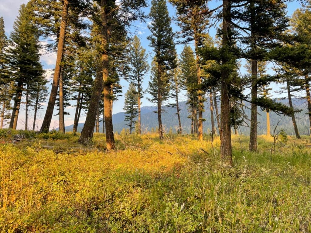
Reading the Landscape Before the First Step
A real assessment begins before we ever step out of the truck. We are reading the road in. The way it bends. Whether an engine could turn around at the end of it. What kind of trees line it. How the canopy closes overhead. By the time we are on foot, we have already started building a picture of how fire would move through this place if it arrived tomorrow.
Then we walk.
Evaluating Slope and Forest Health
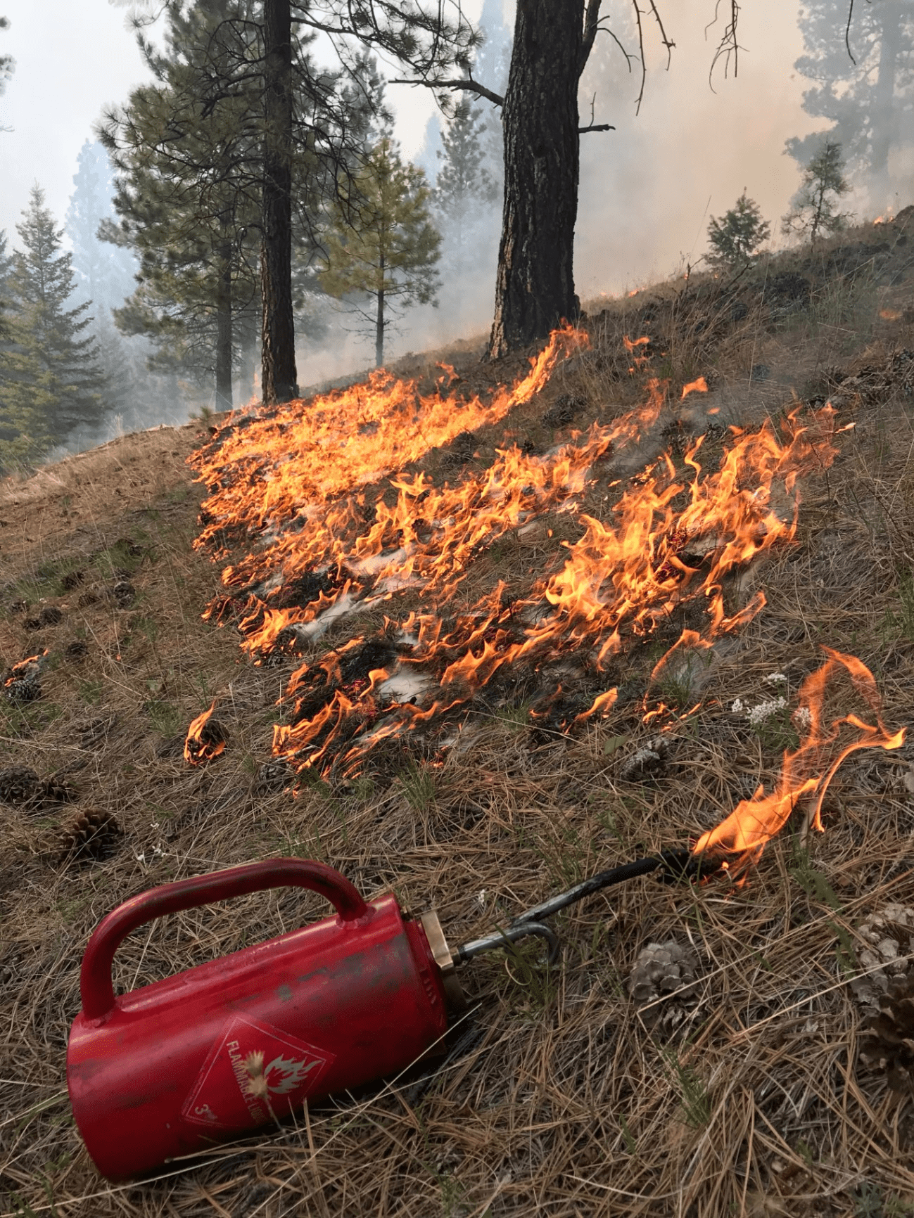
We walk the slope. We notice the aspect, which side faces the sun, which side holds moisture longer. We watch for ladder fuels, the small trees and brush that would carry flames from the ground up into the canopy. We look at how the trees are spaced. Whether they are touching crowns. Whether the understory has been allowed to thicken into something that no longer functions as forest.
This is the technical side of forest management Bozeman landowners often ask about. We are looking for the health of the system, not just the hazards.
Understanding the Home Ignition Zones
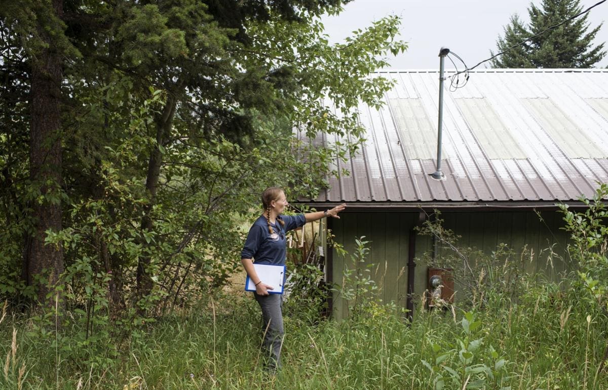
We pay attention to the home ignition zone. The first five feet around the structure. The next thirty. The next hundred. Each of those zones tells a different story about risk. Each of them requires different decisions.
We notice the small things that other people miss. Where the firewood is stacked. What sits under the deck. Whether the gutters are full of needles. Whether the vents on the home are screened or open. Whether the propane tank has clearance. Whether the driveway can support a fire engine in August when conditions are at their worst.
Assessing Community Risk and Neighboring Parcels
We look at the neighbors too. Fire does not respect property lines. A home that is well prepared but sits next to a neglected parcel still carries risk from what is across the fence. The land does not know where one ownership ends and another begins. Effective wildfire mitigation Montana requires looking beyond the fence line to the broader ecosystem.
While we walk, we document.
Documentation as a Foundation for Planning
We take photographs of the conditions we find. Notes on what we see. Maps that show where the threats are, where the strengths are, and where decisions will need to be made. This documentation is not a formality. It becomes the foundation for everything that follows. It is what allows us to plan work that addresses the real conditions of the land, not a generalized version of risk.
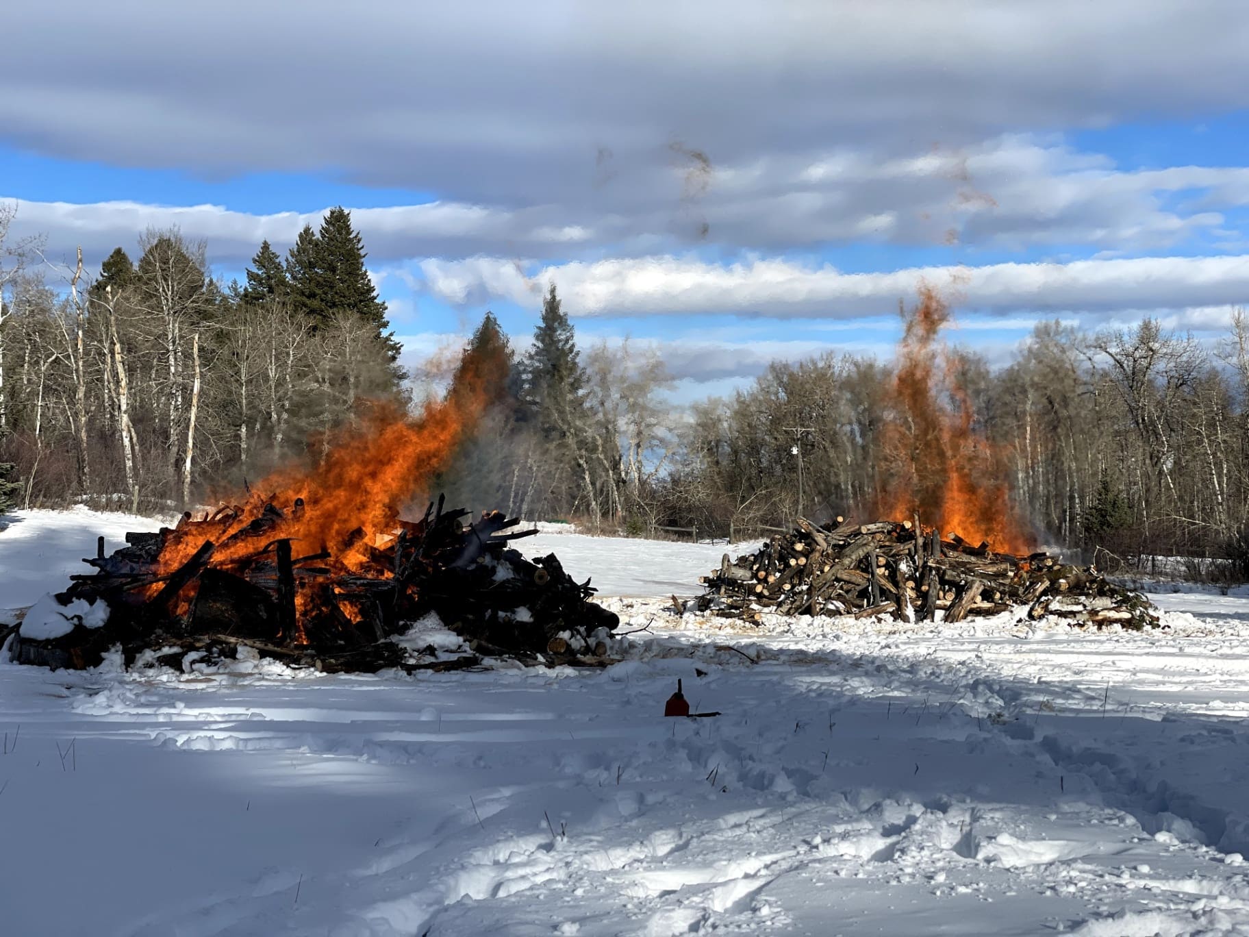
For those curious about the physical outcome of this planning, you can read more about what a pile actually holds once the work begins.
The Role of Assessment in Insurance and Protection
It is also what a homeowner can hand to their insurance company when they are asked to demonstrate that this property has been responsibly assessed and that defensible space is being maintained. More and more, that documentation matters. Insurers want to see the work. Not just claimed, but recorded. Photographed. Dated. Tied to a plan.
In Montana, under law 33, 16, 117, MCA, homeowners have the right to request their wildfire risk score and the factors that influenced it. Having a professional assessment on hand is a critical part of wildfire preparedness for homeowners who want to navigate these conversations with their insurance providers effectively.
That is part of what we leave with our clients now. Not just a recommendation, but a record.
Listening to the Landowner’s Vision
Then we talk.
The assessment is not complete until the homeowner has been part of it. We want to know what matters to them. Which trees they planted. Which views they want to protect. How long they have owned this land. What they have noticed about how it has changed. What they are afraid of and what they are hoping for.
Some of the most important decisions on a piece of land are not about fire at all. They are about wildlife corridors. About sight lines. About a tree that was there when their kids were small. We need to hear those things before we mark a single trunk.
Recommending a Long Term Relationship
By the end of an assessment, we are not just recommending work. We are recommending a relationship with the land that can hold up over time.
That is what we mean when we say wildfire mitigation. It is not a one-time service that gets ticked off a list. It is a long-running conversation between a landowner, a piece of ground, and the conditions that change every season. The assessment is where that conversation begins.
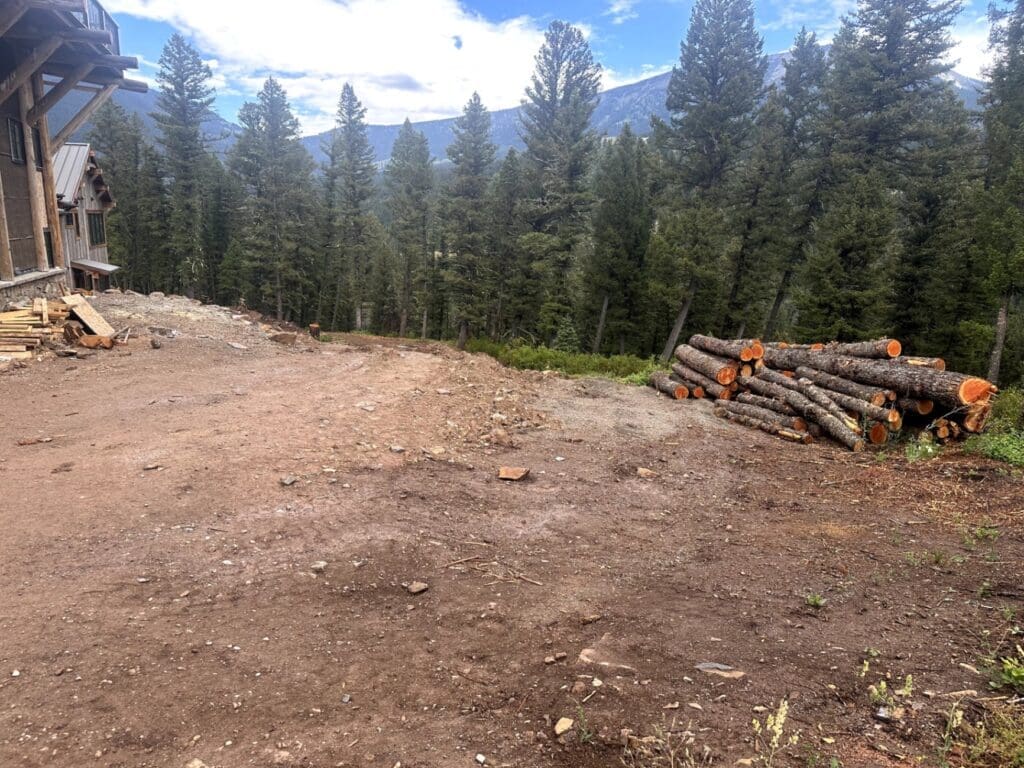
In places like Big Sky and Bozeman, where private land sits next to forest that has been holding fuel for decades, that beginning matters even more. The forest management Big Sky requires is often about the intersection of private property and public wildlands. The work we do on individual parcels shapes how fire behaves across whole watersheds. Every assessment is a chance to do that thoughtfully, not reactively.
When someone calls Firebreak and asks for an estimate, what they are really asking for is judgment. As defensible space contractors, we know the number on the page comes later. The assessment is where it actually starts.
That is the work. And it is worth doing well.